| Location | Data Type | ||||
|---|---|---|---|---|---|
| All data | Meteorology | Water Temp | Waves | Biology/Chemistry | |
| McQuade, MN nearshore | ALL 2026 | MET 2026 | WT 2026 | WAV 2026 | BIO 2026 |
| McQuade, MN offshore | ALL 2026 | MET 2026 | WT 2026 | WAV 2026 | |
| Superior Entry (LSNERR) | ALL 2026 | (/tr>||||
| McQuade, MN nearshore |
| McQuade, MN offshore |
| Two Harbors, MN nearshore |
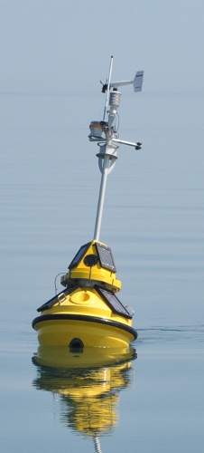
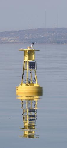
A range of data types is collected by a set of buoys in western Lake Superior.
Data is transmitted by the buoys every 10 minutes to a computer at the Large Lakes Observatory
which processes the data and makes it available online. Data has a time resolution of 10 minutes for all fields.
The data is available in two formats: CSV (Comma-separated values) format, which is easy to read into Excel
or any platform that can read a flat text file, and MATLAB, a popular platform for data analysis. In the case
of the CSV files, the data is broken up into several files: meteorological parameters, water temperature, waves,
and biochemical parameters. Fields and units are specified in the first two rows of each table.
Not all parameters are available on every buoy. All data are reported in metric units.
Time is in UTC (Coodinated Universal Time; CDT +5h)
The western Lake Superior Buoys are maintained by the University of Minnesota Duluth
Large Lakes Observatory, with funding from the Great Lakes Observing System and the National Science Foundation.
They operate during the ice-free months each year, and are typically deployed in
mid to late spring, and recovered in mid to late fall.
We are currently operating four buoys. Two are near McQuade Harbor,
east of Duluth. Another is near Bark Point, WI on the south shore of the western arm.
A fourth buoy is deployed as part of an NSF-funded study of springtime convection,
and is moored in 600' deep water about 50km south of Grand Marais, MN.