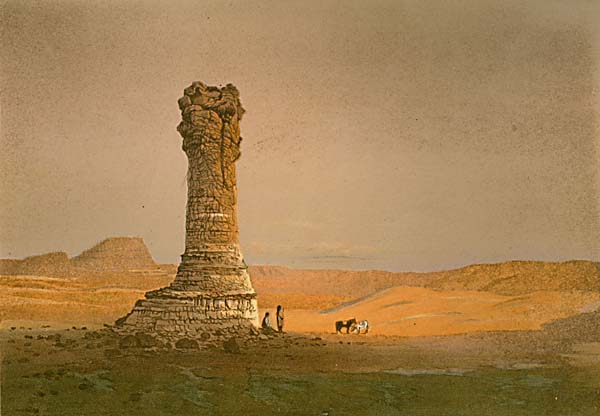
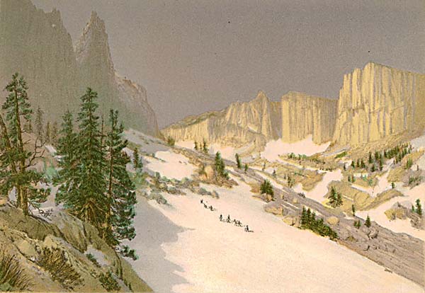
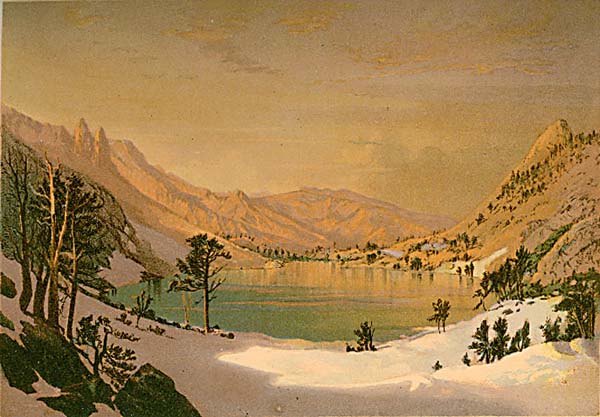
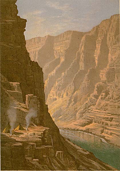
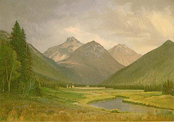
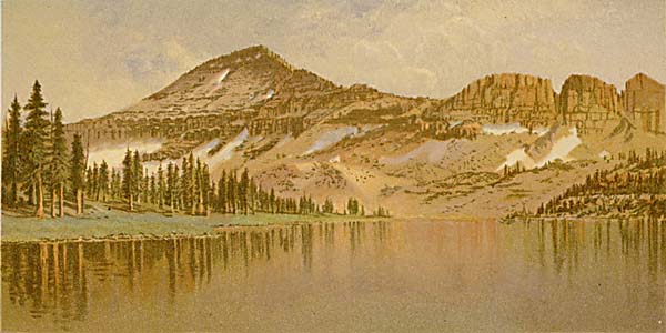
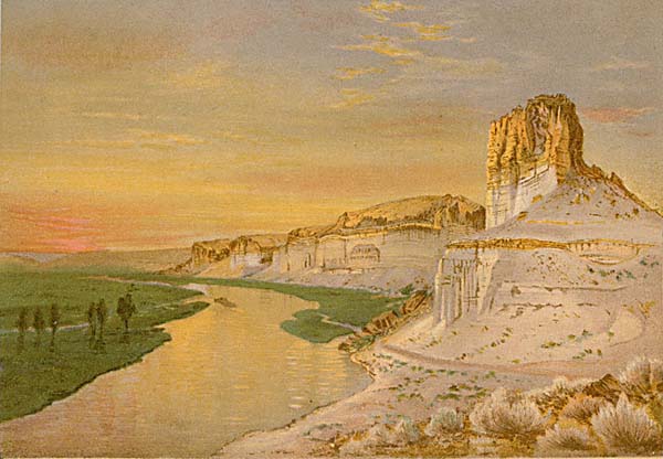
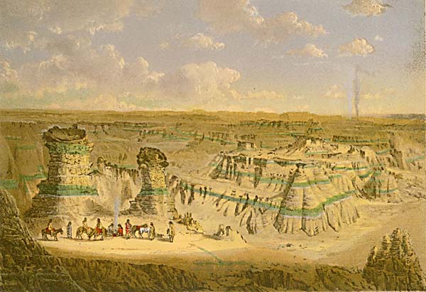
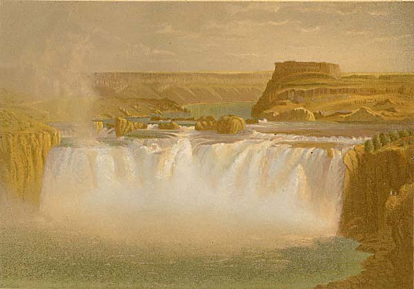
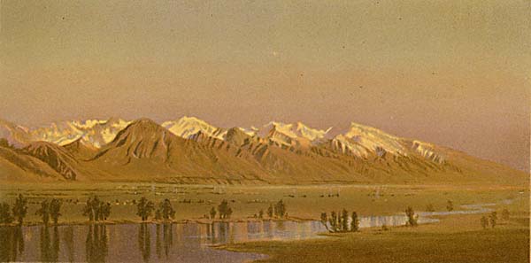
Munger Geologic Survey Chromolithographs
Gilbert Munger was a "guest artist" for the United States Geological Exploration of the 40th Parallel, lead by Clarence King. Munger traveled with the expedition in 1869 to Nevada and Utah. In 1870 he traveled with it to Northern California and Oregon. He also traveled to the west coast on his own in 1872-3 and 1875. While the King expedition completed field work in 1872, its published report of 8 volumes was not finished until 1878. King's volume 1, Systemic Geology, was the last printed. The book states that the ten chromolithographs contained are "after (color) sketches by Gilber Munger." He would have specially produced the master sketches as small paintings so they would reproduce well as color lithographs, likely on commission, after the expedition returned, as part of publishing Systematic Geology.
There is some mystery as to the sources Munger used as the basis for the chromo master sketches. Some authors have suggested that they were mostly done from photographs made by expedition photographer Timothy O'Sullivan. But Munger was present and painting at most of the locales depicted in the chromos. He certainly could have used his own plein air paintings exclusively or in addition. Especially in cases where he also produced finished full-sized paintings of those places for sale, it is safe to think he was working at least partially from his own plein air paintings to produce the chromo master sketches. He is documented as producing his commercial studio paintings from his field sketches. His many popular renditions of Yosemite were done this way in San Francisco, New York, and London.
Each chromo here is labeled by its website ID#, the plate number from Systematic Geology, and the title. The website contains a full entry page for each chromo in the section for the locale. Click on a chromo image or ID# below to go to the full entry page.
Prev Next